Benefits Of ZaiNar + 5G
Spectrum Efficient
Power Efficient
Scalable
Reliable
Opportunities
ZaiNar opens many new capabilities and revenue streams… Real-time map of people, vehicles, and other devices
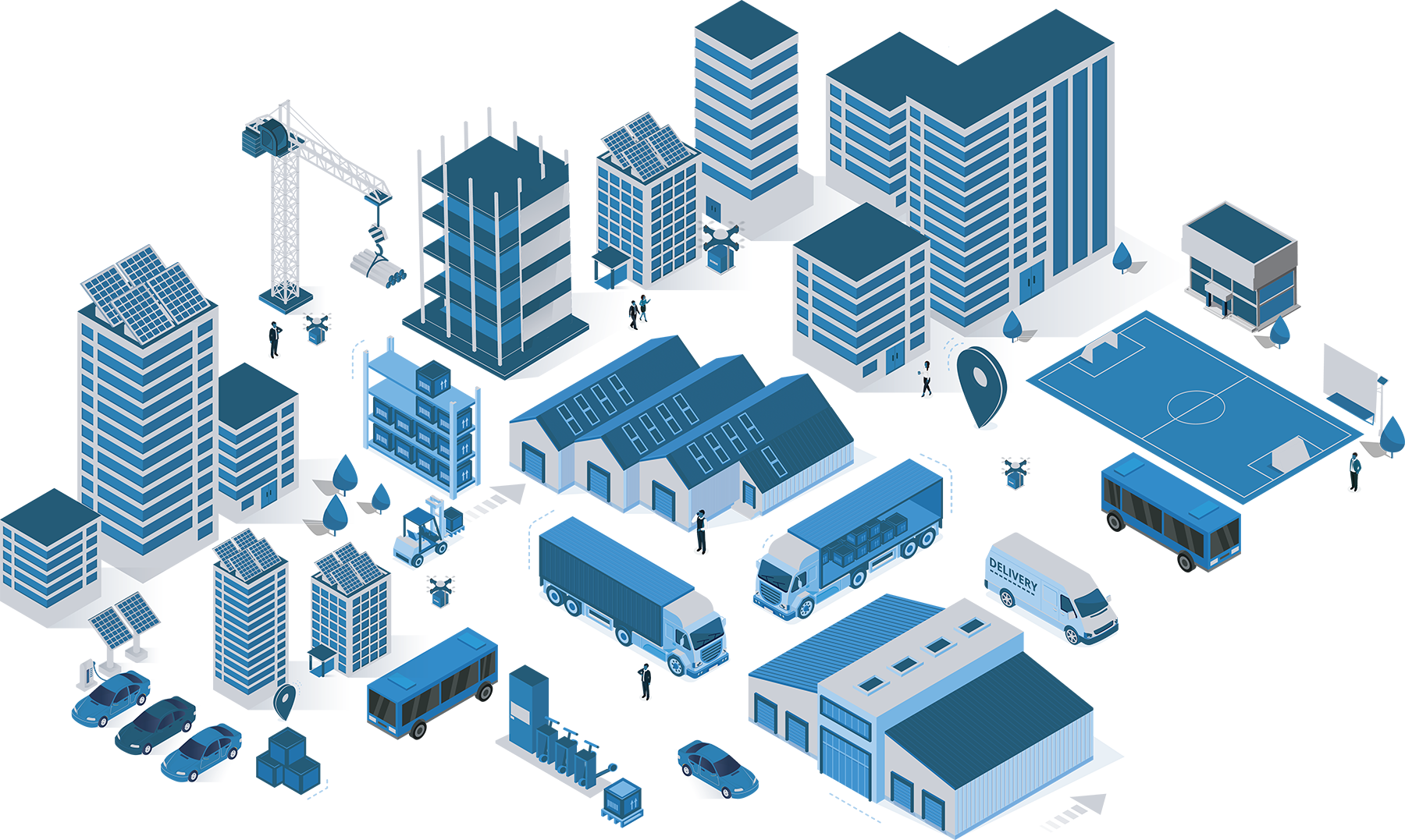
Utility
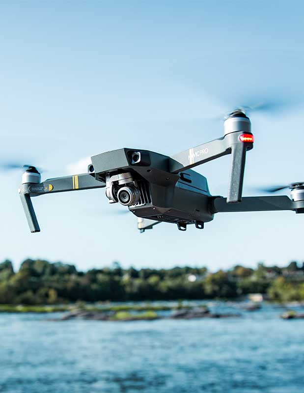
Drone
Vehicle
Vehicle
Van
Forklift
Van
Cell Phone
Crane
Real-time map of people, vehicles, and other devices
 Precise location data allows indoor navigation and augmented reality solutions to finally catch up to consumer expectations
 Locate and ID cars for automated services and safety
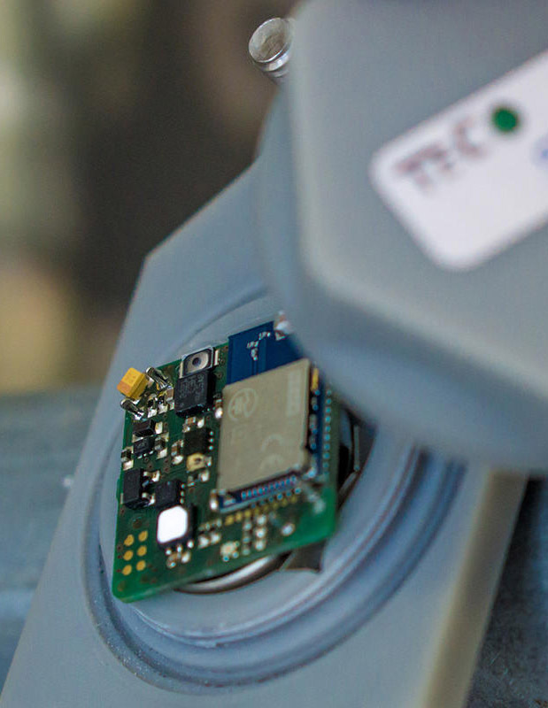 Low-cost and battery-efficient IoT devices to become location-enabled without expensive chips for GPS, Wi-Fi, Bluetooth, and other sensors